Solar Farms
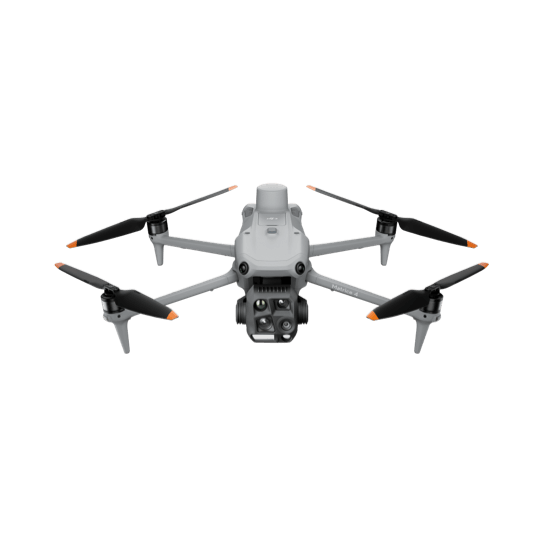
Thermal imaging identifies anomalies at panel level before they appear in generation data. Every visit logged, every finding delivered with coordinates your maintenance team can act on directly.
Commercial Rooftop Solar
Most commercial rooftop arrays have not had a thermal capture since commissioning. We fly the full array in a single visit and identify thermal anomalies before they become costly.
Industrial & Infrastructure
Large structures, electrical infrastructure, processing facilities - anything expensive to access and more expensive to fail. Aerial and thermal capture gives you a documented condition baseline without taking the asset offline.
Construction
Scheduled aerial captures produce an independent visual record of what was built, when, and how. When a dispute arises after practical completion, that record is what settles it.
Residential Solar
A higher bill gets blamed on rates, weather, or usage long before anyone suspects the panels - so the fault sits there unnoticed. A single thermal capture identifies underperforming panels at individual panel level, the same day, with a clear figure for what it's costing you.
What we offer
We fly programs for commercial rooftop solar, solar farms, industrial facilities, construction sites, commercial property, and residential solar. Every visit is logged, georeferenced, and delivered as structured data your team can act on.
From a 50MW solar farm to a single residential roof - the approach is the same: scheduled programs for ongoing assets, single visits where that's all you need.
Scheduled monitoring, when you need it
Most ongoing clients run a recurring capture schedule - quarterly, bi-annual, or custom frequency. Each visit builds on the last, creating a documented condition record your team can compare over time.
Use it for what your asset needs
Every visit delivers a structured PDF report you can hand straight to your maintenance, O&M team, insurer, or lender. The findings go directly to you, for your own maintenance, insurance, and reporting decisions. Need the underlying GeoTIFF or KMZ data too? Available on request.
Independent from maintenance and repair
SkySpectra has no maintenance contracts and no repair revenue. Our data is independent validation, not a second opinion from someone with a stake in the result. If an installer or O&M provider has told you everything is fine, this is the only way to know if that's actually true.
Nick Barlow is a CASA-licensed pilot and certified thermographer with over 20 years in heavy industry. His background spans mining and resources, fire and emergency services, and commercial drone operations - so the data we capture is quality data, read by someone who understands the asset behind it.
Sub-25kg multi-rotor & fixed wing
Certified operator
Cert #250765890
Commercial pilot, fixed wing
Drone-based PV inspection standard
Mining & resources
Fire & rescue
South East QLD & Northern NSW
Every industry, one standard
Utility-scale solar, a commercial rooftop array, or a single roof - captured to the same standard and read by the same certified thermographer. Tell us what you're working with and we'll come back to you with what the data shows, not a generic quote.
We don't quote until we understand the site. Use the chat in the corner, or see what's included below.
Brisbane, Queensland
South East Queensland & Northern New South Wales
SkySpectra provides aerial thermal and RGB data capture services, including thermographic assessment of thermal imagery by an ITC Level 1 Certified Thermographer. This assessment identifies and classifies thermal anomalies but is not a structural, electrical, or engineering assessment, and does not constitute certification of any asset. Any decision regarding remediation, repair, or compliance must be made by an appropriately qualified professional engaged by the client.